
New project studies poor air quality on Westside, proposes possible solution
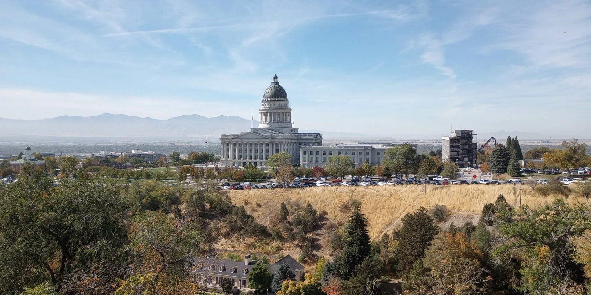
Though clear days provide miles of visibility, the Salt Lake Valley is all too often covered in a layer of inversion containing harmful particulate matter (PM2.5). Photo courtesy of Jon Silberstein and Emma Reives.
On a clear day in Salt Lake County (SLCo) you can see for miles – from the Wasatch Front in the east to the Oquirrhs in the west. However, during wildfires, inversions (wintertime events where cold air gets trapped beneath a layer of warmer air, allowing air pollution to increase), and other periods of high air pollution, it may be hard to even see down the street. Natural disasters – like wildfires and dust episodes caused by the drying of the Great Salt Lake – and urban and industrial pollution contribute to poor air quality. During summers in Salt Lake, ozone and chemical smog reduce visibility; during winters, air pollution can build up during inversion events.
Poor air quality can lead to a wide variety of health problems, and air quality can be tracked by measuring small airborne particles called fine particulate matter or PM2.5. Industrial sources such as refineries and factories, exhaust from cars and buses, and wildfires can all create PM2.5. When inhaled, PM2.5 can irritate the lungs and enter the bloodstream, and can result in asthma and COPD, heart and lung disease, low birthweight and preterm birth, and even cancer.
Since 2009, SLCo has exceeded national air quality standards for PM2.5, but concentrations are not necessarily evenly distributed across SLCo. Westside and West Valley neighborhoods, which are generally closer to PM2.5 sources, face higher levels of air pollution than their Eastside counterparts. Understanding how different pollution sources lead to PM2.5 in different neighborhoods is essential to creating strategies to decrease pollution in ways that may improve community health.
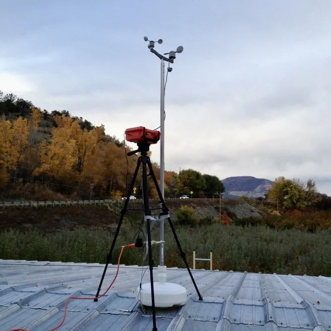
Air monitors tell researchers which chemicals are present in PM2.5 samples, helping to identify which sources are contributing to the air pollution in each neighborhood. Photo courtesy of Jon Silberstein and Emma Reives.
To understand the sources and health impacts of PM2.5 within SLCo, our group (consisting of researchers from the University of Utah, the University of Colorado, and the ASPIRE National Science Foundation Engineering Research Center) is collaborating with community, city, and county leaders, and trusted community organizations to study local air quality using a combination of air quality monitors and computer modeling.
While SLCo already has some air quality monitors, there are often large areas between monitors where the concentrations of pollutants cannot be measured or known. Existing air quality monitors also don’t provide much data about which sources of pollution cause the largest air pollution problems.
Working with Westside community representatives, we determined where to place monitors to fill in gaps. These monitors tell us which chemicals are present in PM2.5 samples, allowing us to identify which sources – like vehicle traffic or wildfires – are contributing to the air pollution in each neighborhood. This information can support community advocacy for solutions that can improve local air quality.
This research also contributes to understanding how transportation-related policies and technologies can improve SLCo’s air pollution problems. Vehicles cause around 50% of the PM2.5 in SLCo, making them a big contributor to its air pollution issues. This also makes them a good target for policy intervention.
The project will model how vehicle electrification – replacing standard cars, trucks, and semi-trucks with electric versions – can improve SLCo’s air quality and decrease the negative health impacts of air pollution. This project aims to estimate how electrifying different types of vehicles leads to different air pollution and health impacts, and how these benefits are distributed within and between neighborhoods in SLCo.
Whether vehicle electrification will benefit Westside neighborhoods may depend on how it is implemented, such as which type of vehicles (passenger or heavy duty) are electrified. To understand this, we will model different vehicle electrification scenarios.
In addition to estimating how vehicle electrification improves air quality, we will also estimate its health impacts by conducting a health impact analysis (HIA). HIAs use air pollution data, population data, and data derived from health studies to estimate the health impacts of policy or technology adoption. In this case, conducting a HIA will allow us to estimate reductions in death and illness from improved air quality associated with vehicle electrification.
Understanding the possible air pollution and health benefits associated with vehicle electrification, as well as where these benefits are likely to occur in SLCo, can support local and statewide efforts to improve air quality and community health, particularly in some of the most heavily impacted areas – like the Westside.
Cleaner air benefits everyone. This work will identify prominent local sources of PM2.5 and explore the health impacts of pollution-reducing policies like vehicle electrification. Fewer hospital visits, fewer children with asthma, and fewer unsafe air quality days in SLCo are goals worth striving for.
Project findings will be shared in local community meetings and future editions of the West View to support community- and state-wide actions to tackle SLCo’s air pollution problem.
Jon Silberstein and Emma Reives are PhD students at the University of Colorado. They welcome feedback from individuals and community organizations at jonathan.silberstein@colorado.edu and emma.rieves@colorado.edu.